
Held at: | Private collection |
Reference: | RS/TCF |
Source: | Original photographs and Internet |
Title: | Digital Archive: Turnastone Court Farm Photograph Collection, Part 7 of 7 – Aerial Photographs |
Place name: | Golden Valley |
Date: | 1946 - 2009 |
Description:
This is part 7 of a collection of photographs from a variety of sources which together illustrate the history of the buildings, fields, farming practices and occupants of Turnastone Court Farm from the end of the nineteenth century to recent times. Part 7 shows aerial and satellite photographs of the farm and surrounding areas. Click on the thumbnails below to download the corresponding high quality JPG images for detailed viewing [each file about 3 Mb]
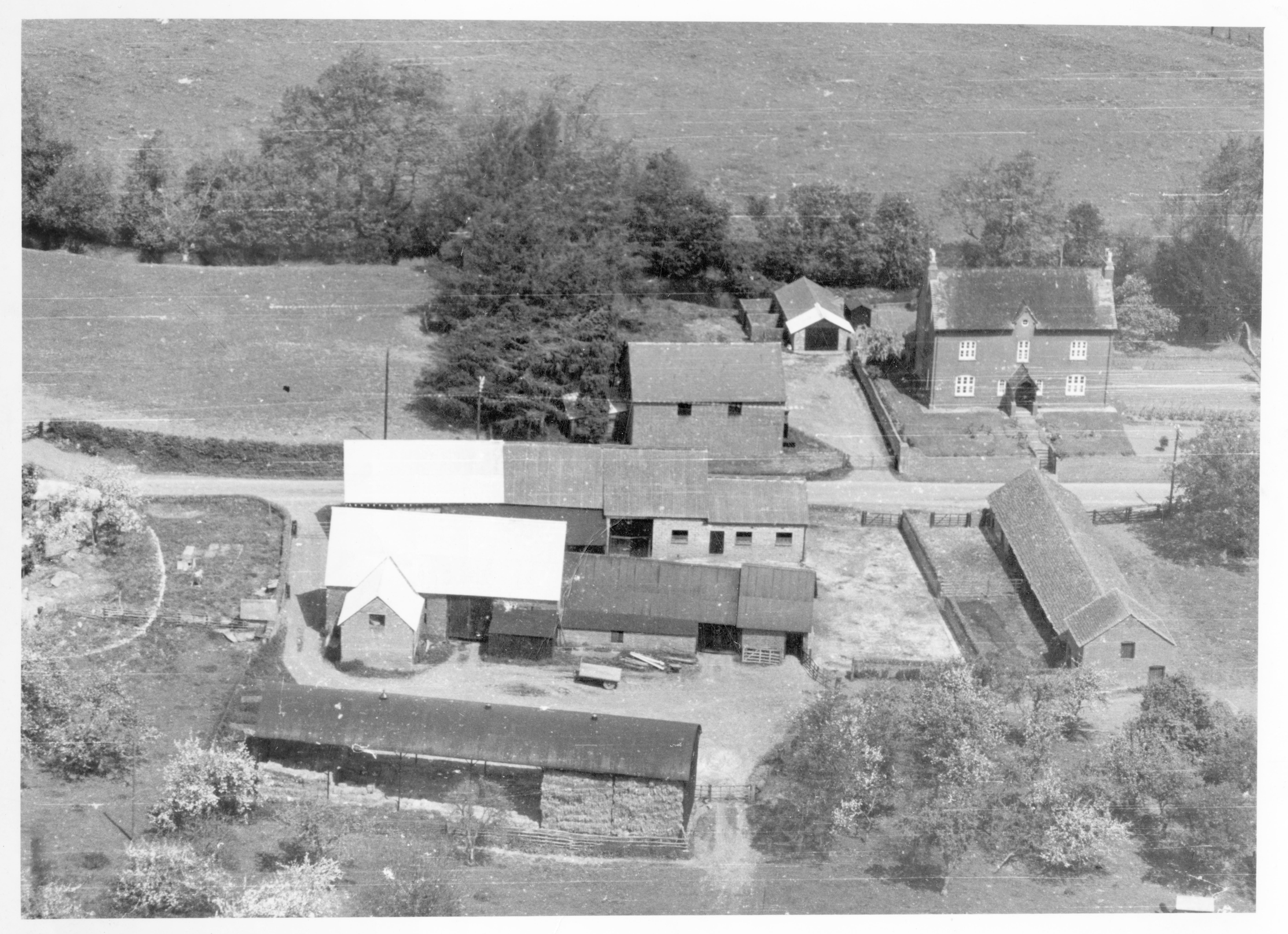
Turnastone Court Farm and Buildings, thought to be in the 1950s
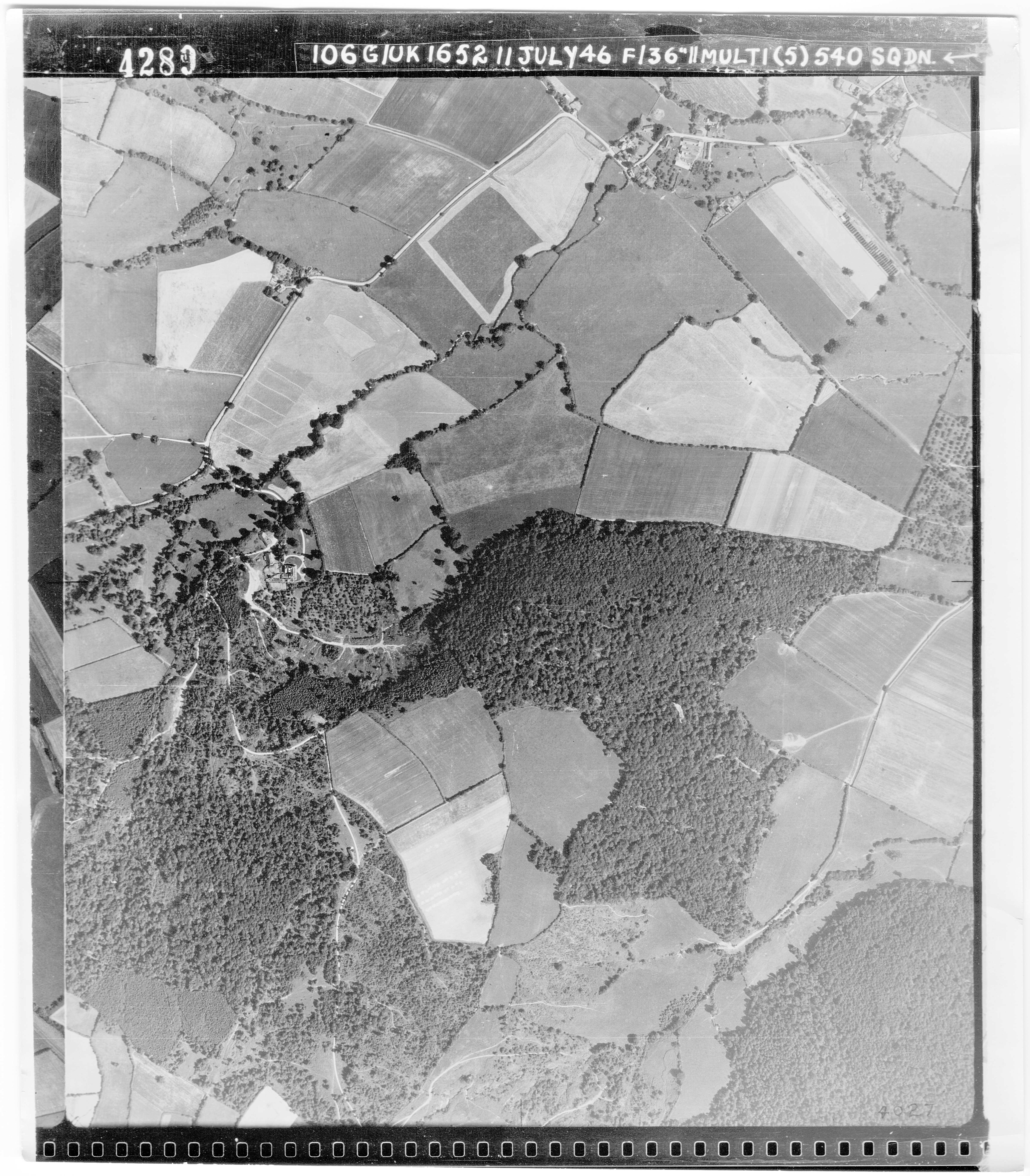
RAF Aerial Survey, July 1946
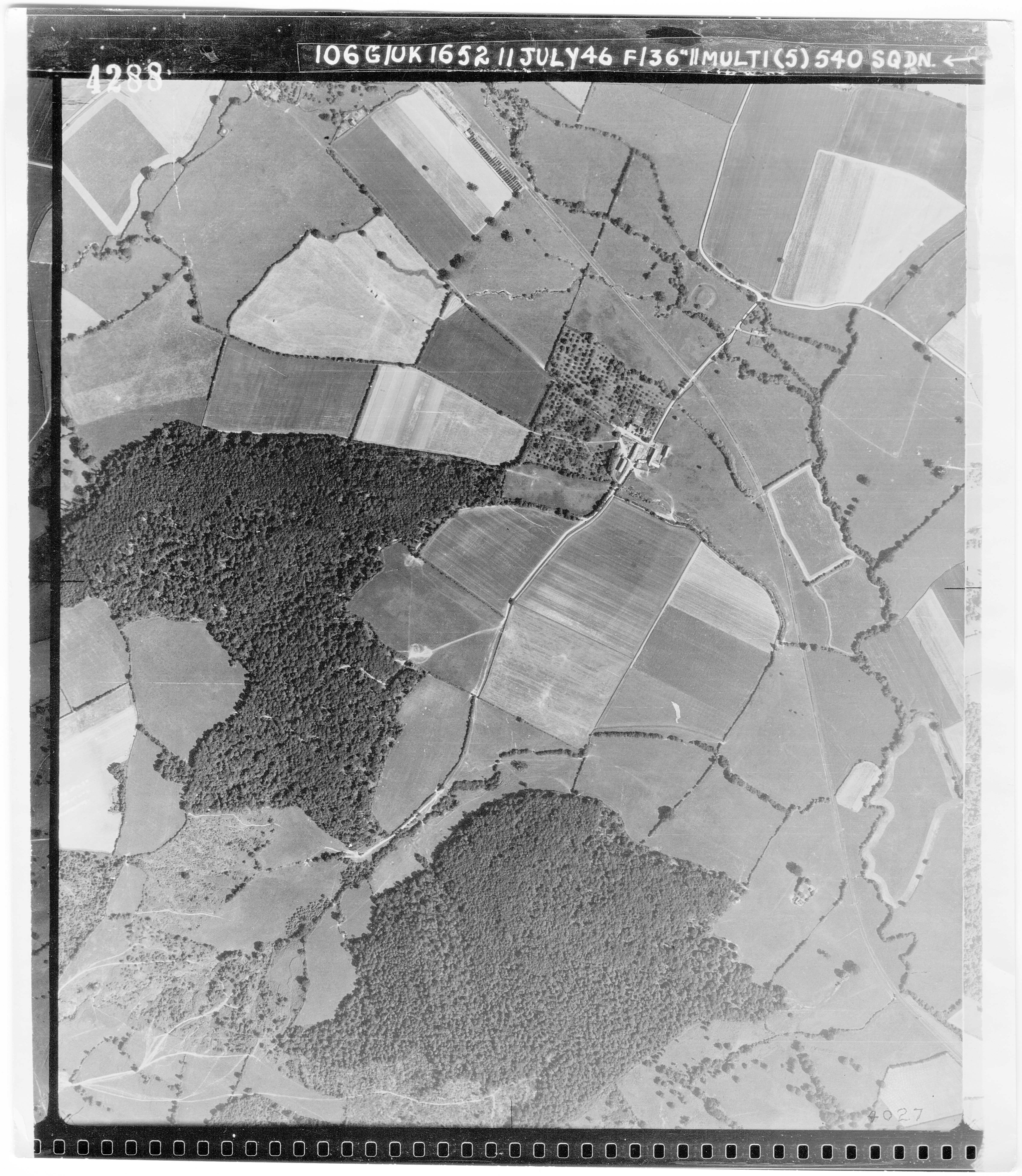
RAF Aerial Survey, July 1946
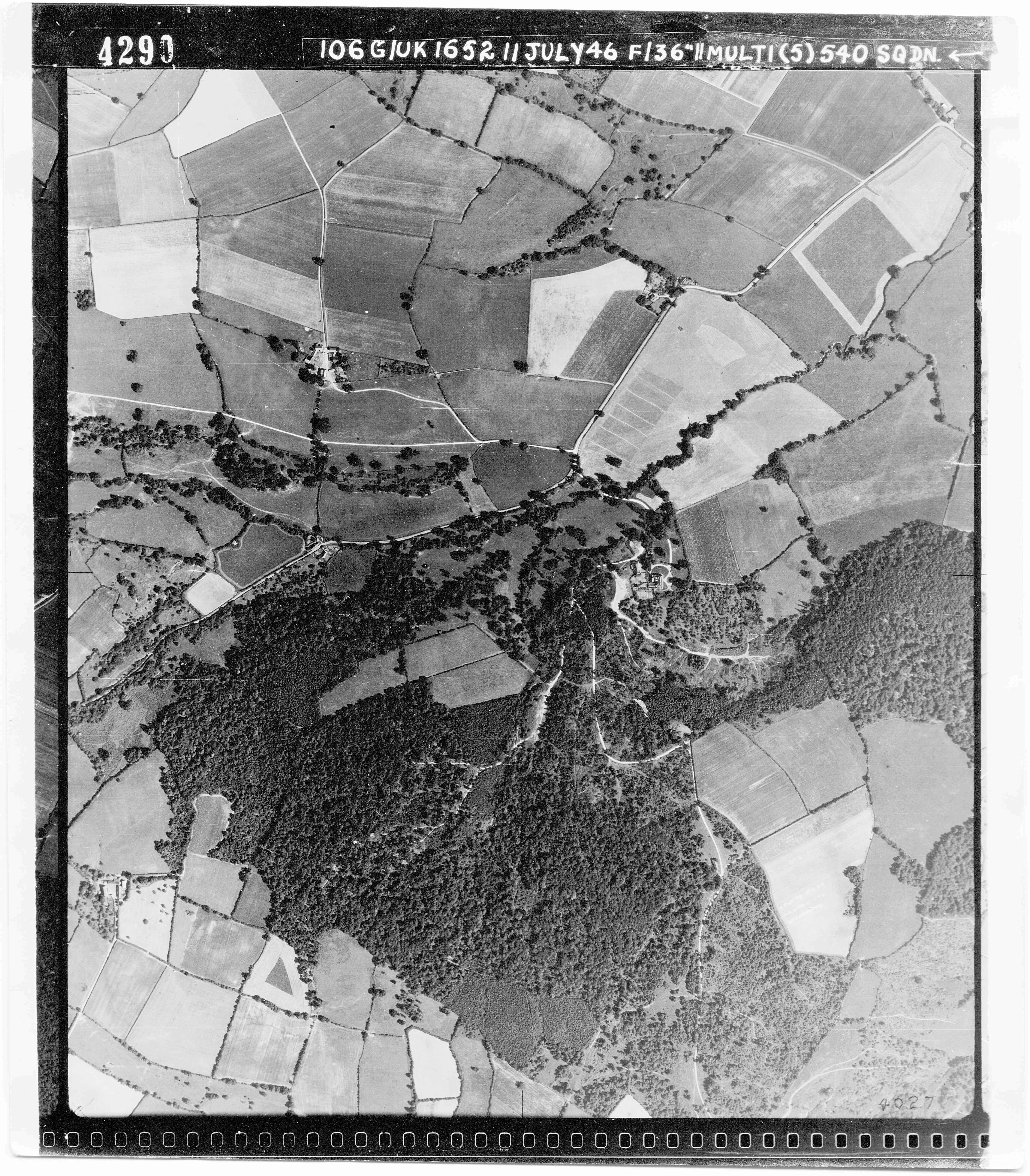
RAF Aerial Survey, July 1946
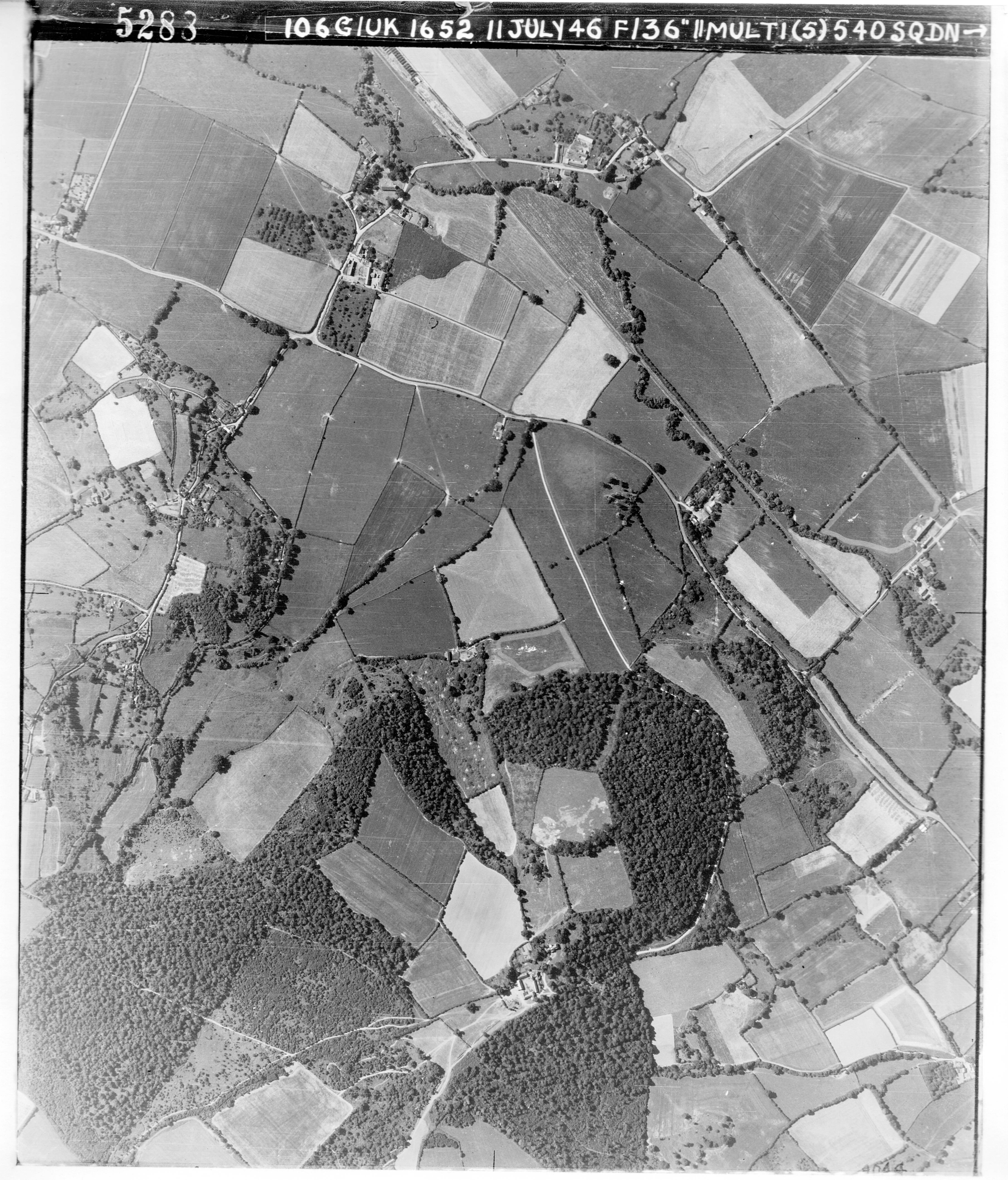
RAF Aerial Survey, July 1946
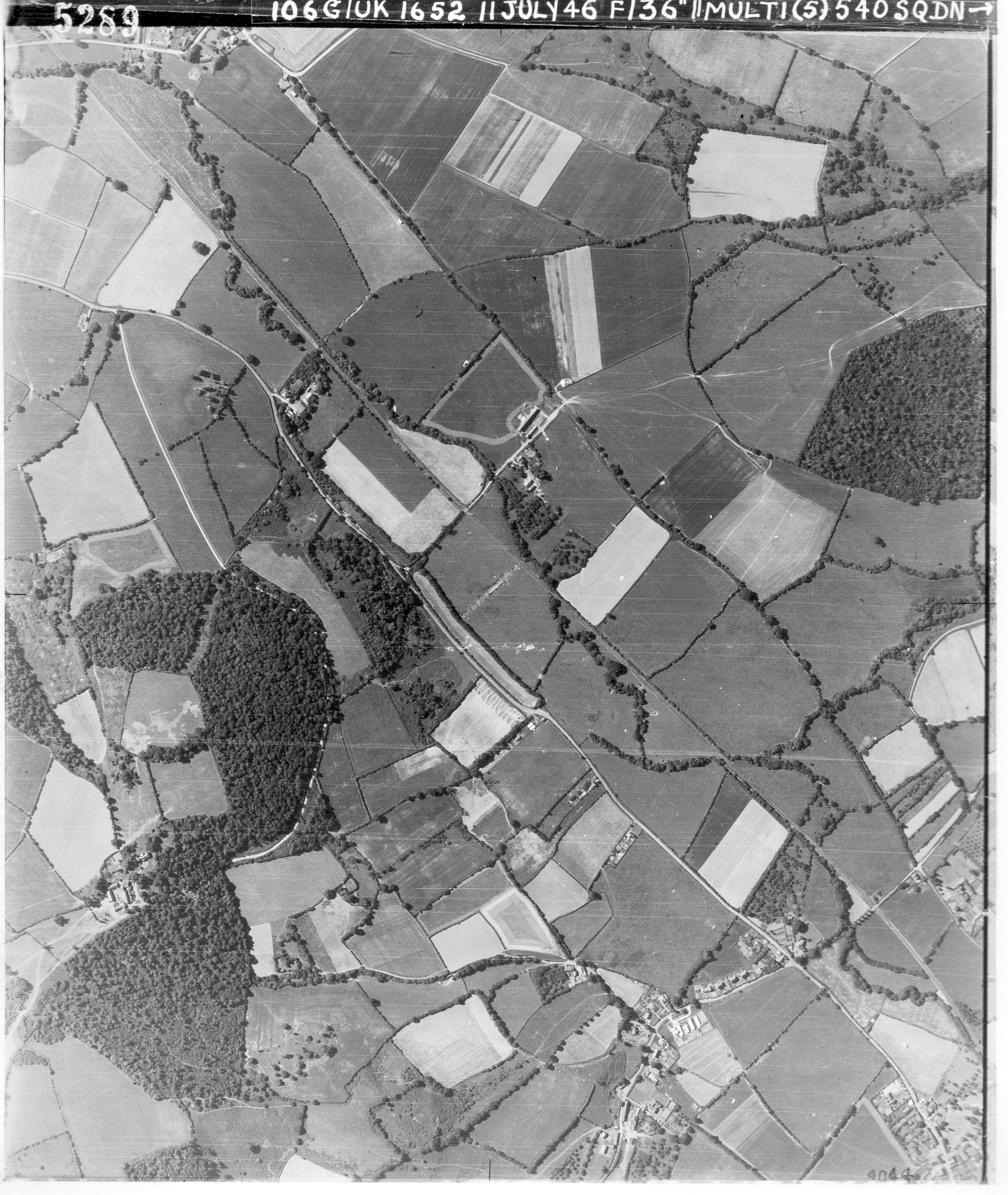
RAF Aerial Survey, July 1946
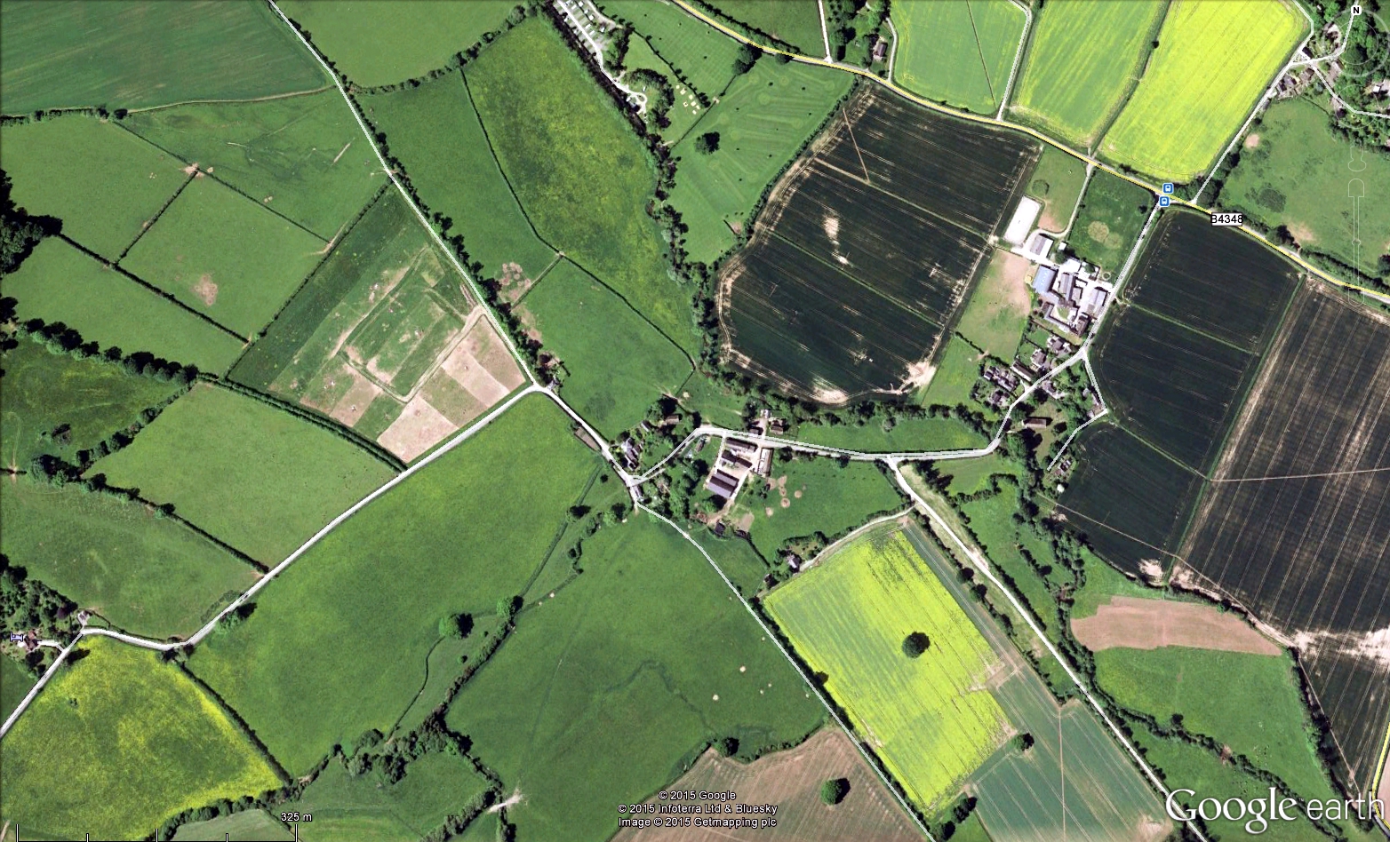
Google Earth satellite photograph May 2009
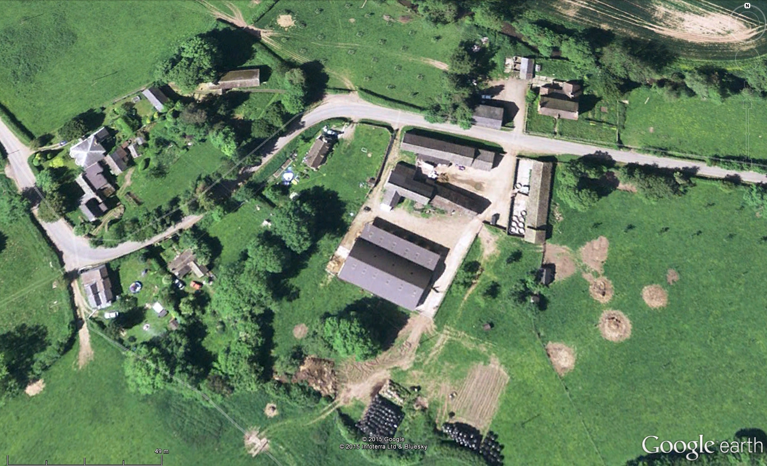
Google Earth satellite photograph May 2009
Google Earth satellite photograph May 2009
Observations:
Ref: rs_gdv_0082